
GROUND PENETRATING RADAR
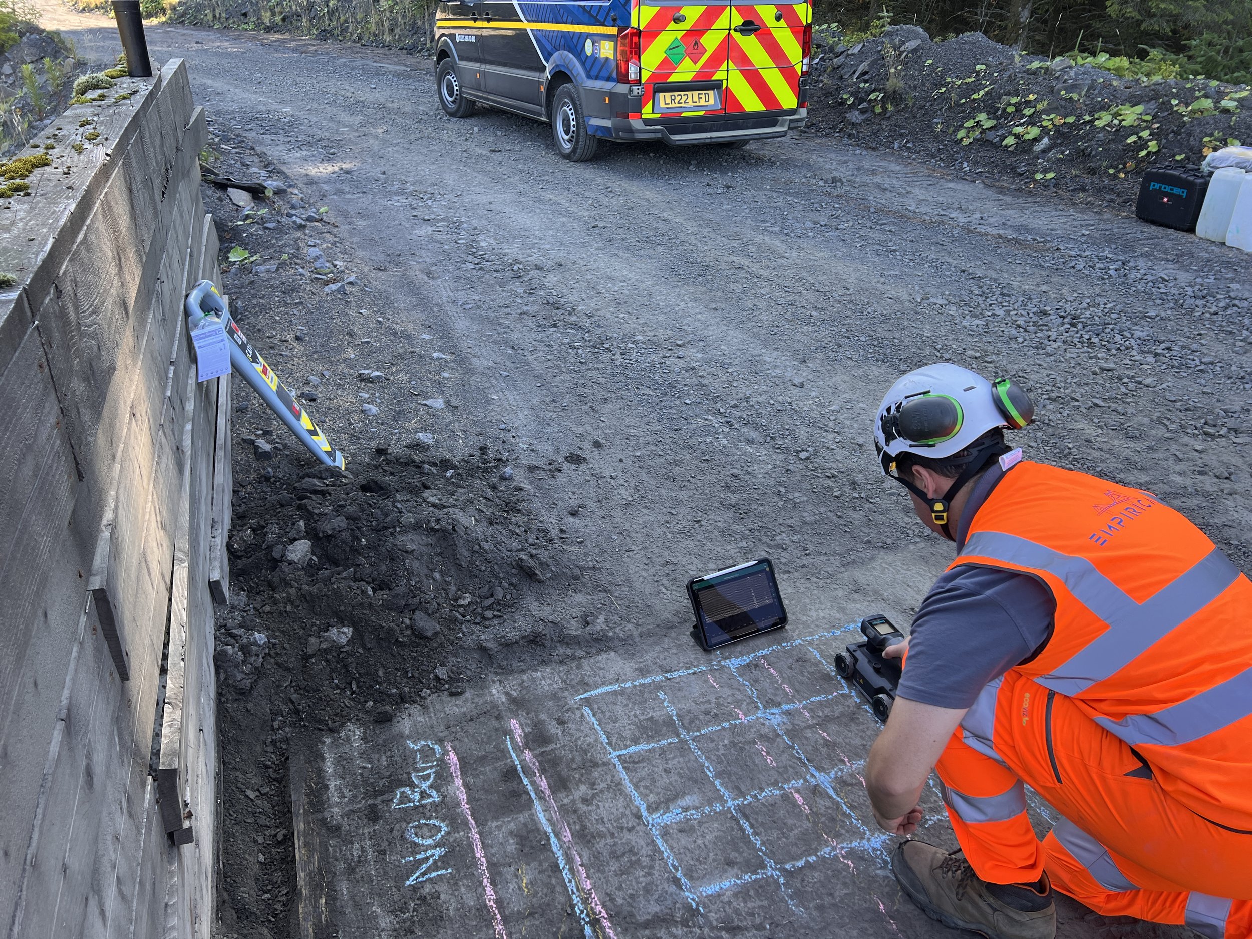
Ground penetrating radar surveys, commonly referred to as GPR or impulse radar surveys are a non-destructive technique which can be used for numerous applications. A key element of the accuracy and success rate of GPR surveys is the selection of correct GPR instrumentation with a suitable frequency for the application.
GPR surveys can be used in a wide range of materials such as concrete, masonry, soils and asphalt. A number of examples are detailed below, however it should be noted that this list is not exhaustive and should you not see what you require please contact us for advice.
GPR - Structures
Reinforcement – Reinforcement locations and arrangements including orientation within reinforced concrete. GPR can be used with a high level of accuracy to confirm reinforcement locations; this may be for the purpose of creating an opening to avoid reinforcement or for the confirmation of as built details. Empirical adopt our experience and expertise to produce cross sectional as built details of structural elements to enable assessment of them.
Post Tensioned Ducts – Ascertain post tensioning locations and arrangements. GPR can be used with a high level of accuracy to confirm post tensioned locations, this may be for the purpose of confirming the location and/or depth to facilitate a Post Tensioned Special Inspection with a view to minimising intrusive works and lower the risk of damage from intrusive techniques. GPR may also be used to confirm post tensioning profiles to enable a review of as-built information and ensure tendon profiles have not deviated from the intended design (i.e. floated tendons). Depending on the post tensioning system used it may also be possible to use GPR for the purpose of void location within post tensioned ducts.
Metallic Structural Elements – Ascertain location and arrangement of embedded metallic sections within concrete or masonry. An example would be confirming the centres of filler joists in concrete or ascertaining if masonry columns contain a metallic section. GPR can be used to differentiate between reinforced concrete and encased metallic sections. There may also be a requirement for larger metallic sections such as rail structures to confirm centres and locations of beam stiffeners embedded with masonry jack arches.
Masonry – GPR can be used to scan various masonry elements such as retaining walls, bridge abutments or masonry arches thus enabling the confirmation of material thickness and identifying presence of any voids or delamination within such elements.
Material Thickness – GPR may be used to ascertain the thickness of various elements such as concrete ground bearing slabs, suspended floor slabs and bridge deck thickness. The use of GPR allows large areas to be covered and can confirm any variability in the thickness.
Void Location – GPR can be used for the mapping and locating of underlying voids. An example of this would be the presence of voids beneath a ground bearing concrete slab.
GPR – Buried Elements
For the application of GPR in relation to buried elements; it may be best to adopt larger instrumentation with a lower frequency to enable larger areas to be covered more economically, however this may not always be the case.
Buried Service Location – GPR can be used with a high level of accuracy for the purpose of locating buried underground services. GPR service location surveys are beneficial given that metallic and non-metallic conduits/pipes can be located including an estimate on the depth. Service location surveys may be conducted to inform future design proposals or alternatively for the purpose of confirming exact service locations prior to breaking ground for instance on our bridge investigation contracts where Cable Avoidance Tool (CAT) scanning is further backed by GPR surveys to inform accuracy and avoid risk of service strikes. Service location surveys may also be backed with CAT scanning techniques and topographical survey to produce accurate detailed survey outputs.
Drainage Location – Similar to the above noted details for service location, GPR can be used to map drainage locations for the purpose of assisting future design proposals or alternatively to map unknown drainage locations for example below concrete slabs.
Underground Structure Location – Underground structures such as buried culverts and historic structures can be located using GPR techniques. The accurate location of underground structures is essential for asset owners as part of maintenance, inspection and assessment regimes enabling them to accurately understand where these are located. Furthermore, it may be required as part of redevelopment to a historic site ensuring structures are not damaged unnecessarily and enabling design considerations to be taken in to account.
Buried Element Location – GPR may be used for the purpose of confirming foundation arrangements such as plan dimensions of pad foundations. Empirical have significant experience locating buried foundations with this technique including detailing of thickening of raft foundations, location of ground beams and extent of pad foundations. In some instances, this may be further backed with localised diamond coring and drilling techniques. Other examples of buried element location would be accurate location of disused or unknown water, wastewater or fuel storage tanks.